
The first national united states weather bureau was founded around 1870. Its mission was to make meteorological observations throughout different states and territories. One of its purposes was to send out marine signals along the Great Lakes if a storm was approaching. The then unnamed weather service was allocated under the Department of War by brigadier General Albert J. Myer (Father of the first U.S. Weather Bureau). The first weather bureau or today’s National Weather Service was originally called The Divisions of Telegrams and Reports for the Benefit of Commerce.
The agency shifted from the Department of War to the Department of Agriculture by 1880. In 1937, the weather bureau was successful in replacing aircraft observations by using a radiosonde or a unit inside weather balloons to measure pressure, temperature, wind, altitude, relative humidity, and geographical location. Later in the mid 20th century, it was placed into the Department of Commerce.
The Weather Bureau was renamed the National Weather Service (NWS) in 1967 when it became part of the Environmental Science Services Administration. The Environmental Science Services Administration turned into the National Oceanic and Atmospheric Administration (NOAA) three years later. NOAA developed when the National Environment Policy Act was enacted. The environmental act became a federal connection that was enacted to enhance and benefit the environment. When the National Service Weather Service became part of NOAA, it branched out into its own weather forecasting unit. Today, the weather service is part of the federal government and divides into different units of weather and climate forecasting. Each branch has its own purpose but at the same time benefits us with accurate forecasting and data.
Branches of The NWS
Hydro-meteorological Prediction Center (HPC)
One of the branches of the NWS is the Hydro-meteorological Prediction Center (HPC). It’s main purpose is to forecast rainfall and analyze potential flood risks. The HPC is the basis that NWS uses to issue watches and warnings for different states and counties in the result of excess rainfall or snowfall. The HPC uses quantitative precipitation forecasts to determine how much rain or snow may fall in a certain area and influences statewide forecast products to issue either watches or warnings. With the use of satellites, radars, and weather maps, the HPC analyzes and prepares forecasts every 6 hours for short and medium range outlooks. Short term forecasting applies to 60 hours out while medium term goes up to 7 days.
National Hurricane Center
Another branch of the NWS is the National Hurricane Center. The National Hurricane Center (NHC) deals with hazardous tropical weather. Its mission is to save lives, mitigate property loss, and improve economic efficiency. By analyzing data, the NHC is able to create watches, warnings, and forecasts to protect the millions of people who deal with annual tropical hazards. The NHC has several units that monitor activity and forecast the potential for future activity. They also keep tabs on any ongoing tropical activity and the potential effects on lives, property, and marine life.
The NHC has a special hurricane unit called the 53rd Weather Reconnaissance Squadron. Their purpose is to fly around tropical disturbances in order to find out more detailed information about them. They have flights paths assigned near the Caribbean, Gulf of Mexico, the North Atlantic, and parts of the North Pacific. The flight team uses sophisticated and advanced equipment to gather accurate information about a storms pressure, size, wind speeds, and direction of movement. They are the most accurate means of getting the right information about tropical hazards. Their information gets processed through the National Weather Service, NOAA, and all other branches of the federal, state, and local offices.
The Hurricane Liaison Team communicates with other branches of NOAA to rapidly exchange information back and forth with one another. They are composed of federal, state, local emergency managers, NWS meteorologists, and hydrologists whom all communicate with the appropriate federal, state, and local officials. They have established a long line of communications from many federal agencies such as FEMA and the Emergency Operations Centers (EOCS). With the right tools of forecasting and communicating, this federal agency strives to protect and save lives.
The National Weather Service Website
The main website of the National Weather Service is where you’ll see any watches and warnings. You’ll be able to retrieve climate archives and look at your local weather offices. Each state office has their own short, medium, and long term forecasts issued by the NWS. Online, there is information about river levels, air quality, and severe weather. The main National Weather Service websites give links to other branches that deal with specific areas of climate and weather. You can look at visible satellite maps and weather radar. There is also plenty of contact info available along with website links that are used to inform you about different natural hazards. Their climate archives can determine pressure readings, temperature, amount of precipitation, and wind speeds on any given day from past years.
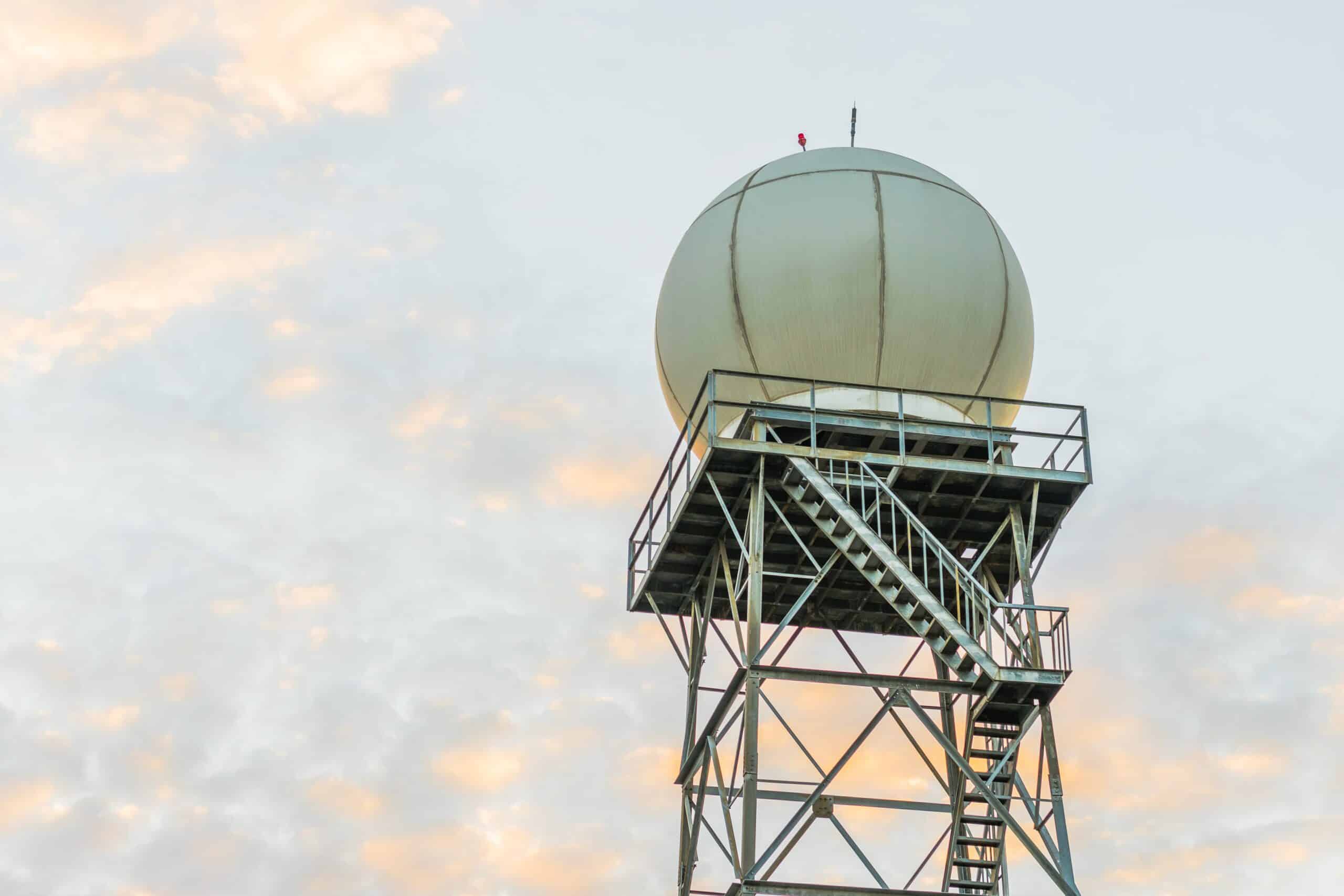
Every time you receive a severe weather watch of warning on your television or computer, you are receiving information from the National Weather Service. The NWS uses every bit of technology at their disposal in order to provide the most accurate readings and measurements. The use of advanced computers, radars, radiosondes, buoys, satellites, ship and plane data, and observation towers all serve a purpose. They guide our daily lives and protect us from danger. The National Weather Service gives us the information to live in a nonhazardous natural environment.